Meteorological Resource Forecasting and Prospect
The wind and solar prediction information is calculated by the high-resolution wind and solar numerical information production system. This is a system that high-resolution topographic information is reflected in the forecast data of the Korea Meteorological Administration (KMA) operational model and calculates site-specific information about the target process and the spatial statistical downscaling method that applies interpolation for each weather variables. Currently, we produce wind and solar prediction information for the South Korea with a 100m spatial resolution, 1 hour temporal resolution, and 36 hours forecasting time, and provide it on this web-site.
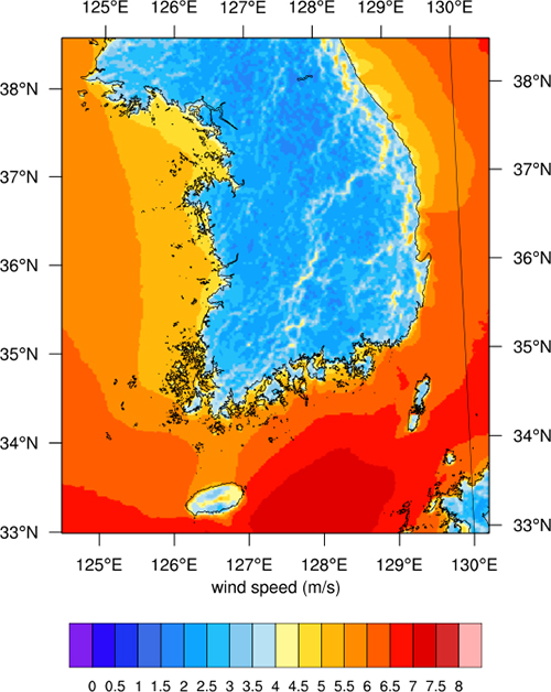
Wind speed graph
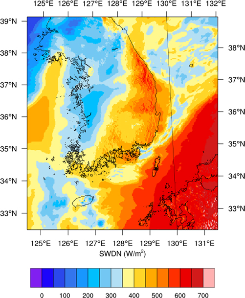
SWDN graph